New York City Storm Warning: High Winds, Heavy Rain, and Flooding Expected
Powerful weather system to impact NYC with 45 mph gusts, coastal flooding risks, and rapid temperature swings.
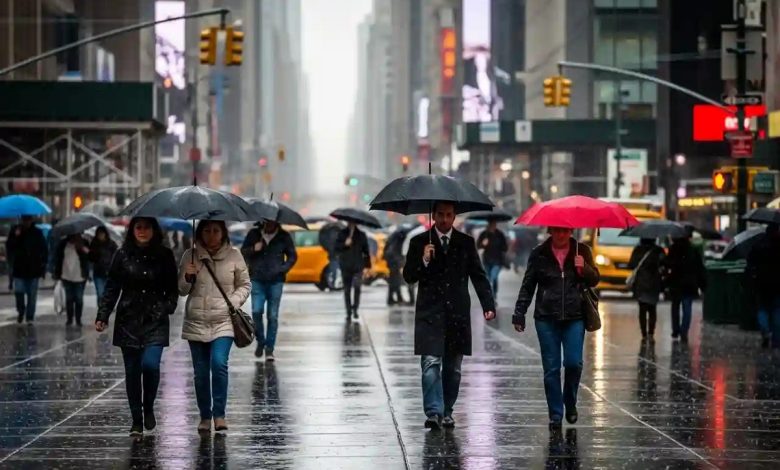
New York City is preparing for a significant weather event as a powerful storm moves through the region, bringing strong winds, heavy rainfall, and the risk of coastal flooding from Thursday night through Friday evening. Residents are being advised to secure outdoor items and exercise caution, as wind gusts could reach up to 45 miles per hour, posing a danger from flying debris.
A major weather system is expected to sweep across the New York metropolitan area, delivering a potent combination of intense winds and heavy rain. Forecasts indicate the storm will begin late Thursday night and continue through Friday evening, creating challenges for both residents and city infrastructure. Authorities have issued multiple warnings, urging the public to take proactive safety measures during this period of hazardous weather.
The approaching cold front is expected to bring widespread rainfall, with totals reaching approximately one inch across the region. In addition to steady rain, isolated thunderstorms are also possible, further intensifying the storm. Conditions are expected to gradually ease by around midday Friday, offering a brief break before colder air fully settles in.
One of the primary concerns highlighted by meteorologists is the potential for damaging winds. Gusts may reach up to 45 miles per hour throughout Friday, strong enough to dislodge unsecured objects and turn them into dangerous projectiles. Residents are strongly encouraged to inspect outdoor areas and secure loose items such as holiday decorations, patio furniture, and trash bins. New York City emergency management agencies have issued wind advisories for all five boroughs, stressing the need for heightened vigilance.
Coastal flooding is another major concern as heavy rain combines with strong winds. Low-lying coastal neighborhoods are particularly vulnerable to rising water levels. Residents in these areas are urged to monitor official alerts closely and prepare to protect property and personal safety. Coastal flood warnings have been activated citywide for Friday.
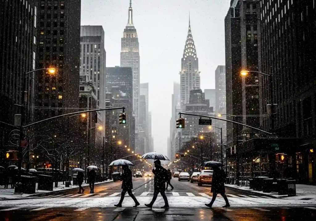
Despite the stormy outlook, the initial phase of this weather system will bring unusually warm temperatures. From Thursday into Friday, New York City may experience near-record highs, with temperatures climbing into the mid-50s. However, this warmth will be short-lived. As Friday progresses, a sharp temperature drop is expected. By Friday evening, temperatures could fall back into the 30s, signaling a swift return to seasonably cold late-December conditions.
Looking ahead, the weekend offers a welcome improvement. After the turbulent weather on Thursday and Friday, conditions are expected to calm significantly. Forecasts call for sunny skies and milder temperatures, likely settling in the 40s, providing residents an opportunity to recover from the storm and enjoy outdoor activities.
As for hopes of a picturesque white Christmas, meteorologists say it remains too early to tell. While near-term forecasts clearly outline the approaching storm and calmer weekend weather, there is still uncertainty about whether snowfall will arrive in time for the holiday. New Yorkers dreaming of a snowy Christmas will need to wait for further updates.
In summary, residents should prepare for a 24- to 36-hour period of severe weather. Securing outdoor items, traveling with caution, and staying informed through official channels are essential. While the storm presents immediate risks, the promise of a calmer, sunnier weekend offers reassurance beyond Friday’s rough conditions. The rapid temperature swings also highlight the region’s dynamic winter weather, reminding everyone to dress in layers and be ready for sudden changes throughout the day.