Arctic Blast to Hit New York City Friday With Record-Breaking Cold
Temperatures expected to feel like the low 20s as a powerful polar surge sweeps in from Canada.

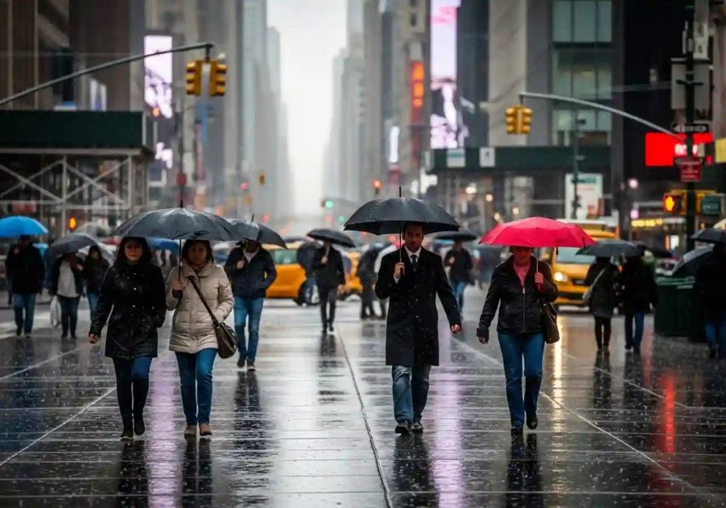
New York City residents are preparing for a harsh cold wave this Friday as a polar storm hits the region, bringing temperatures that will feel like the low 20s. This cold front, moving down from Canada, is expected to cause a sharp drop in temperatures, prompting New Yorkers to take immediate precautions.
As Thursday night transitions into Friday morning, a massive cold air front will sweep across the metro area, pushing actual temperatures into the upper 20s and low 30s Fahrenheit. However, strong winds will make conditions feel much colder, creating a wind chill effect that will resemble the low 20s. This sudden plunge comes after an already unusually cold week, signaling a persistent trend of severe winter weather.
NYC Braces for Record-Challenging Cold This Friday
Meteorologists are urging the public to prepare thoroughly for these extreme conditions. Their primary recommendation is to “bundle up,” ensuring that all exposed skin is covered whenever possible. People are advised to limit outdoor time and stay indoors for extended periods to reduce the risks associated with prolonged exposure to freezing temperatures. These precautions are crucial to preventing cold-related illnesses such as hypothermia and frostbite, which can develop quickly in such conditions.
Forecasters believe Friday’s temperatures could be exceptionally low—possibly challenging or even breaking existing records in certain parts of the city where temperature data is closely monitored. For example, the record low for December 5 at LaGuardia Airport is 21°F; current forecasts place Friday at 20°F, which could surpass this historic mark.
At John F. Kennedy International Airport, the record low for the same day is 20°F, while predictions show temperatures around 21°F. Although these figures suggest near-record or record-breaking cold, the Central Park record of 11°F for this date, set in 1926, is unlikely to be broken—offering a small bit of relief from a truly unprecedented freeze.
Short Warm Spell Before Another Arctic Blast Hits NYC
Short-term relief is expected after Friday’s deep freeze. Over the weekend, temperatures are forecast to be slightly warmer, offering a brief break from the Arctic cold. Unfortunately, this reprieve will be short-lived. Another surge of cold air, again drifting down from Canada, is expected to arrive by Monday.
This next polar wave will push temperatures back into the usual range of the upper 20s and low 30s, meaning New Yorkers will need to remain alert and prepared for ongoing harsh winter conditions throughout the early part of next week.
The cycle of extreme cold, short-lived warming, and renewed freezing underscores the unpredictable nature of winter in the metro area—demanding continued attention to weather alerts and personal safety.