Strong 7.0-Magnitude Earthquake Strikes Near Yakutat, Alaska Amid Surge in Seismic Activity
A series of tremors hits the Alaska–Yukon region as experts highlight the risks of the Pacific Ring of Fire.
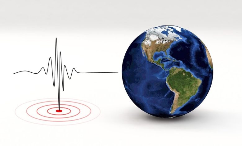
A powerful earthquake measuring 7.0 on the Richter scale struck an area near the city of Yakutat in Alaska on Saturday, according to the U.S. Geological Survey. The quake was part of a series of tremors recorded along the border region between Alaska and Canada’s Yukon Territory over the past 24 hours.
Data from the agency indicated more than ten earthquakes of varying magnitudes during the same period, reflecting notable seismic activity within the Pacific “Ring of Fire,” one of the most seismically active zones in the world, according to Newsweek.
The earthquake occurred at a depth of approximately 10 kilometers—considered relatively shallow—which allowed the shaking to be felt more strongly at the surface. This was reflected in the increasing number of residents who reported feeling the tremor on the agency’s website. Despite its strength, no tsunami warnings were issued, and there were no immediate reports of injuries, property damage, or power disruptions—something authorities attributed to the area’s remote nature, located about 56 miles from Yakutat and around 230 miles northwest of Juneau.
Monitoring agencies confirmed the region recorded several aftershocks, which are considered normal following a quake of this magnitude. Residents in Alaska and northern Canada reported strong shaking that, in some cases, caused household items and belongings to fall from shelves, though no structural damage was observed. Canadian police sergeant Callista McLeod stated: “Many people felt the shaking, but there were no injuries or damage,” while seismologist Alison Bird noted that only minor items fell without significant losses.
Alaska is one of the most earthquake-prone states in the U.S. due to its position along the Pacific “Ring of Fire,” where tectonic plates constantly interact—particularly the Pacific Plate and the North American Plate. The state experienced the second-strongest earthquake in recorded history in 1964, with a magnitude of 9.2, as well as another devastating 8.7-magnitude quake in the Rat Islands in 1965, cementing its position as one of the world’s most dynamic seismic hotspots.
Geological and scientific data indicate that earthquakes ranging from 7.0 to 7.9 are classified as “major,” and can cause extensive damage if they occur in populated areas or regions with critical infrastructure. Earthquake magnitude is measured using the moment magnitude scale, a logarithmic system in which each whole number increase represents ten times the energy of the previous level.
Authorities in Alaska and Canada remain on alert in the coming hours and days to monitor potential aftershocks, while reminding residents of the importance of emergency plans and preparedness—especially in a state that heavily relies on public awareness and evacuation programs during sudden natural disasters. The event serves as another reminder of the ongoing seismic threat facing communities along the Pacific Rim.