


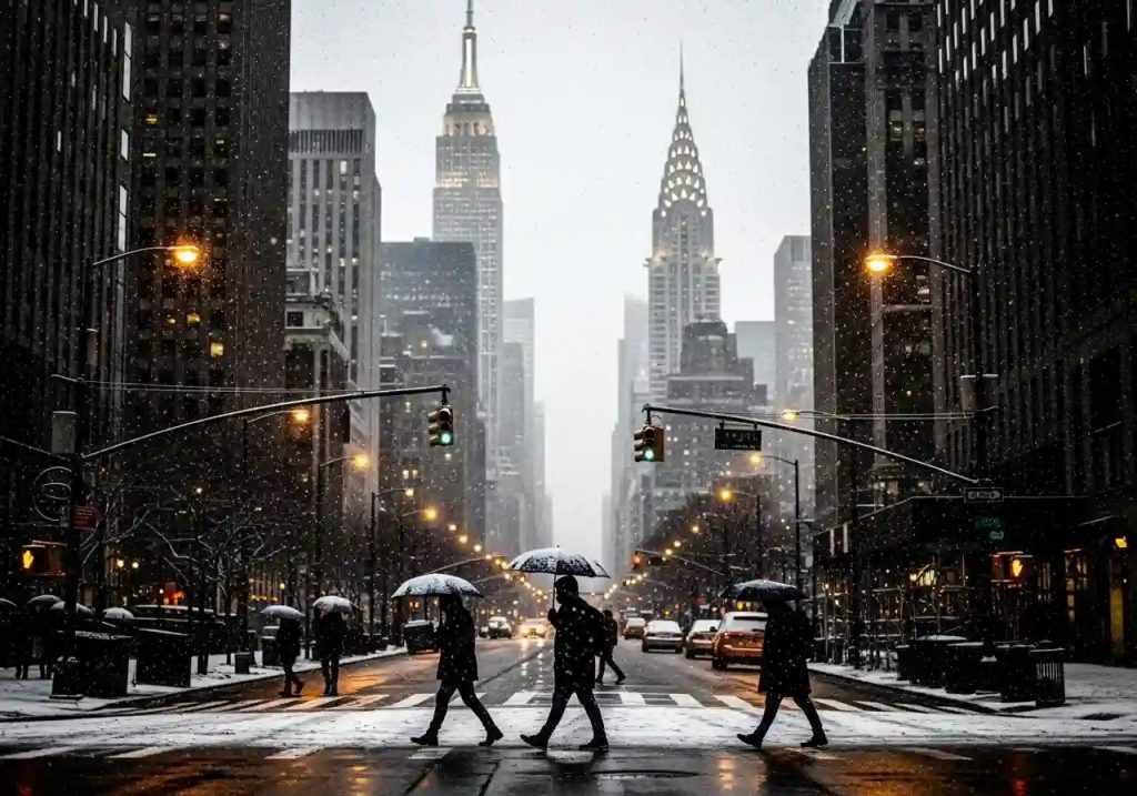
Residents across New York City eagerly await the upcoming 2025–2026 winter season, curious about what the colder months may bring in terms of snow and temperatures. According to the latest meteorological forecasts, the city is expected to experience a milder-than-average winter, accompanied by below-normal snowfall.
While the heart of New York City may receive around 15 to 20 inches of snow, nearby regions such as parts of New Jersey and southern Hudson Valley could see slightly higher totals between 20 and 25 inches. Much heavier accumulations are anticipated farther north, in areas like the Catskills and upstate New York.
The timing of the first measurable snowfall is always a topic of great interest as winter approaches. Historically, New York City sees its first inch or more of snow around December 13. However, weather patterns are famously unpredictable — as seen in the unusually early snowfall on October 29, 2011, when the city recorded 2.9 inches. While historical averages offer guidance, the exact timing of the first snow each season remains a point of fascination.

La Niña and Polar Vortex May Shape New York’s 2025–2026 Winter
A key factor shaping this winter’s outlook is the expected weak La Niña event. La Niña, a climate pattern marked by cooler-than-normal sea surface temperatures in the Pacific Ocean, influences global weather systems. For the Northeast U.S., La Niña often brings cooler, wetter conditions, but its impact depends heavily on its strength.
A strong La Niña during the 2022–2023 winter led to notably low snowfall — just 2.3 inches in New York City — compared to 40.9 inches recorded during the weaker to moderate La Niña of 2017–2018. This year’s weak La Niña suggests a tendency toward mild temperatures and below-average snowfall for the city.
Meteorologists are also closely monitoring the polar vortex, a powerful low-pressure zone near the Arctic. Normally stable, any disruption or weakening of the vortex can send frigid Arctic air southward along the East Coast, bringing severe cold spells. Should such a breakdown occur, it could temporarily overturn the otherwise mild forecast, ushering in brief periods of intense winter weather.

Few Nor’easters, Mild and Dry Winter Ahead for New York City
Another major variable is the potential for nor’easters — strong coastal storms known for heavy snow and fierce winds. Forecasters anticipate one to three significant nor’easters could impact the region this winter. These systems usually form when disturbances move from Canada across the northern plains and intensify offshore, producing major snow events for the Northeast. The uncertainty surrounding these storms adds an element of surprise to an otherwise calm outlook.
Nationally, long-range forecasts show a mix of expectations. Some models predict colder-than-average conditions for the northern and upper central U.S., while others foresee highly variable weather across the country, with cold stretches in New England and milder, rainier conditions along the East Coast. By contrast, several long-range almanacs suggest a quieter, drier season overall, with slightly warmer temperatures nationwide — though they still caution residents to prepare for occasional Arctic blasts.
Overall, the consensus for New York City points to a winter that, while featuring one or two notable snow events, will be milder and drier than usual. The city, which saw 12.9 inches of snow last winter, may record even less this season — continuing a recent trend of lighter snow totals compared to the historical average of 25 to 30 inches.